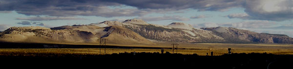
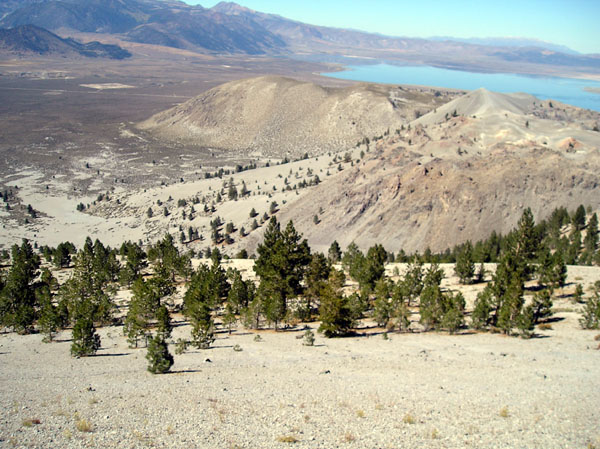
The Mono crater chain. Crater peak is the highest point near the center.
We started climbing up the gully just behind the powerline tower left of center.
Adventure #2 Traverse of the North Mono Craters to climb Crater Peak.
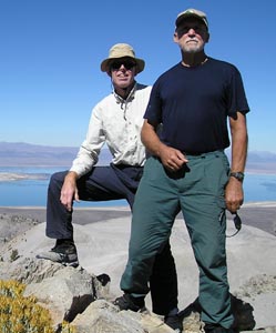
We decided to climb Crater Peak instead of snowy Mt. Whitney. Crater Peak is the highest peak in the mono Craters volcanic chain that stretches south from Mono Lake.
When I was a teenager I found USGS Publication 190 which contained air photographs of places with interesting geology in the United States. One of those photos showed the Mono Craters. Now, after many decades, I would get my chance to climb them.
We got a map of the craters at the Mono Lake Committee information office in Lee Vining. The best map is the 7.5 minute topographic quadrangle. It shows the existing trails the best. We followed highway 120 east from highway 395 and turned south where the access road to Panum Crater turns north. We parked immediately, however we could have driven a few hundred yards to the trailhead and parked there. We hiked the ridge to Crater mountain, the shorter route is to hike or drive (beware of loose sand) along the west side of the craters to the gully between the first volcanic summit and crater mountain and start climbing there. We had time and I wanted o see more of the craters.
We followed old pumice mine roads up and along the summit ridge. There were many pieces of obsidian underfoot, and other volcanic rocks as well.
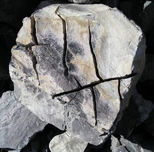
Pasty volcanic rocks were pushed up out of the ground and were
scratched by surrounding rocks.

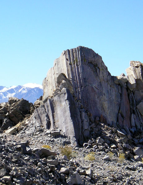
A wind carved, ventifact.
I enjoyed the geology show put on by the volcanic rocks. I was surprised to find the ventifacts. In the valley just north of crater peak the windblown volcanic pumice had carved volcanic rocks into grooved ventifacts. I had previously seen ventifacts in Death Valley, high in the Atacama desert and in the Dry Valleys of Antarctica, they are pretty rare.
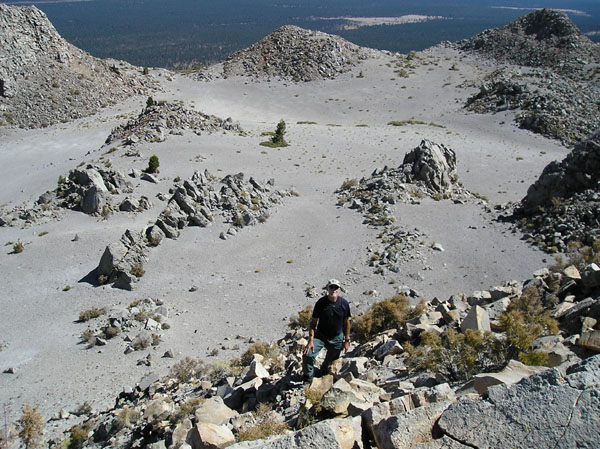
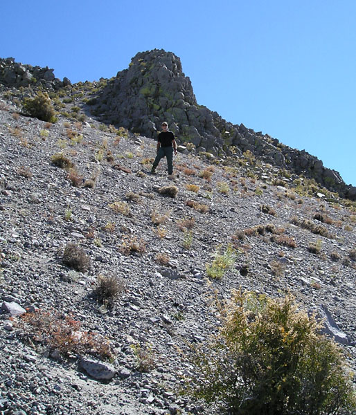
We followed the trail down into the valley to the north of Crater Peak. Then we tried to save energy by contouring the pumice slope into a gully which led up to the summit. The contouring was hard work. We sank in at every step. I rejoiced when I finally reached the relatively firm footing of the gully. We ascended the gully following the footprint holes of previous climbers. As we neared the summit plateau we veered to the east. On the descent we discovered that we had found a good route to the summit. Straight up from the gully was steep and loose. The summit plateau had several peaks, the topo map showed us which one was the true summit.
We had a beautiful clear day on the summit. We ate lunch and read the register. Not many people climb Crater Peak. About one party a month signs the register.
After the summit celebration we headed toward the north side of the peak. We found a scree filed chute and rapidly slid down the edge of the summit plateau. The route was steep enough and loose enough that we were glad we did not climb up this way.
The slope below the summit plateau was a couple of thousand feet long, but it was covered in deep, uniform, small scree. It was perfect for a fast descent. We zipped down the landscape that had been so hard to climb up. We went down leaping and sliding and occasionally stopping to rest our screaming leg muscles.
At the bottom we reached a road which we followed back to Paul's truck.
|
Scientific Explorations with Paul Doherty |
|
11 October 2005 |